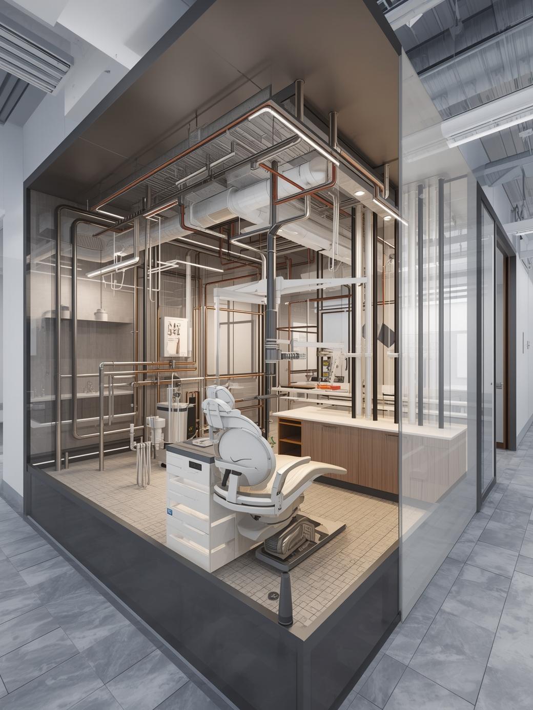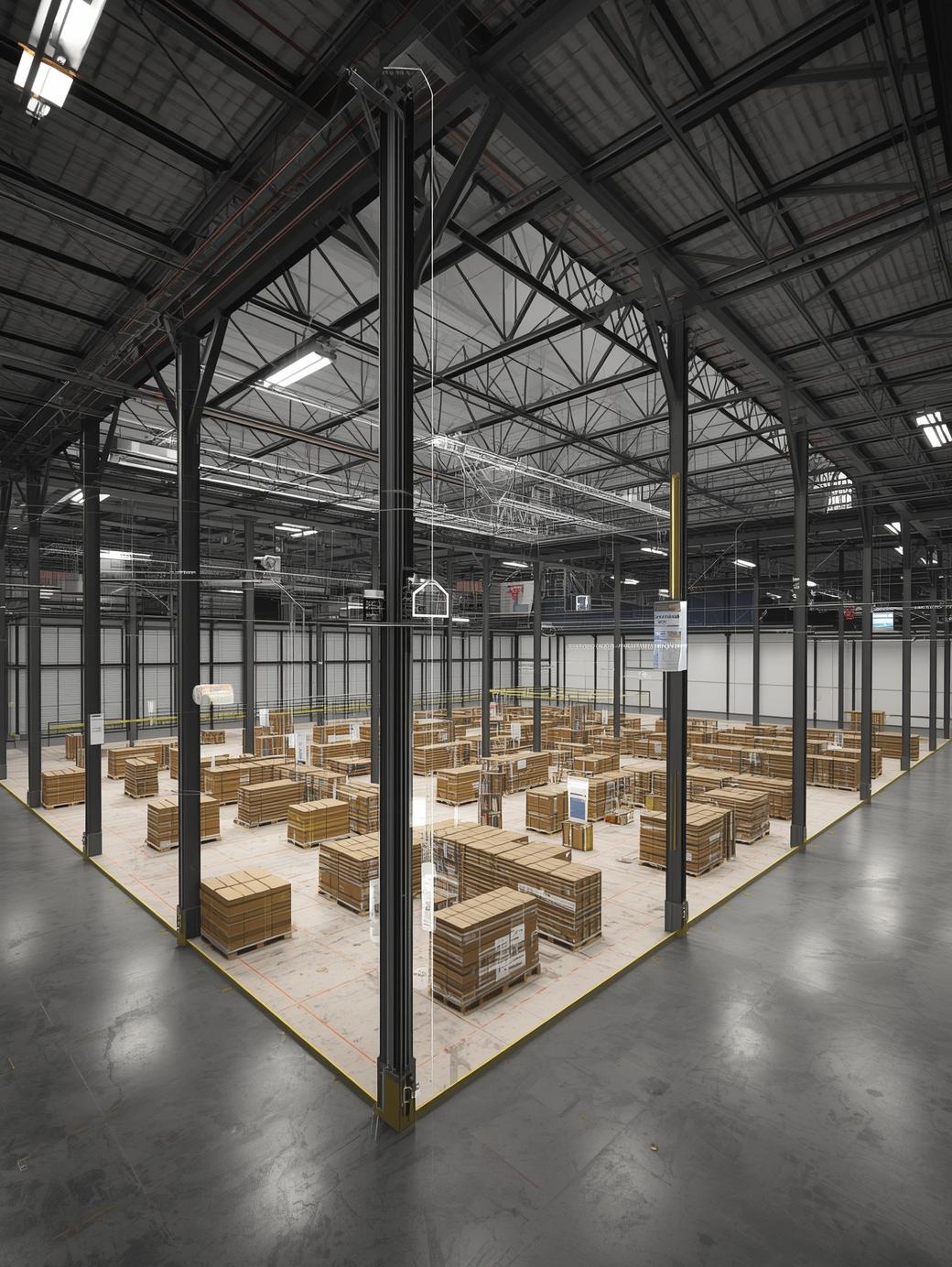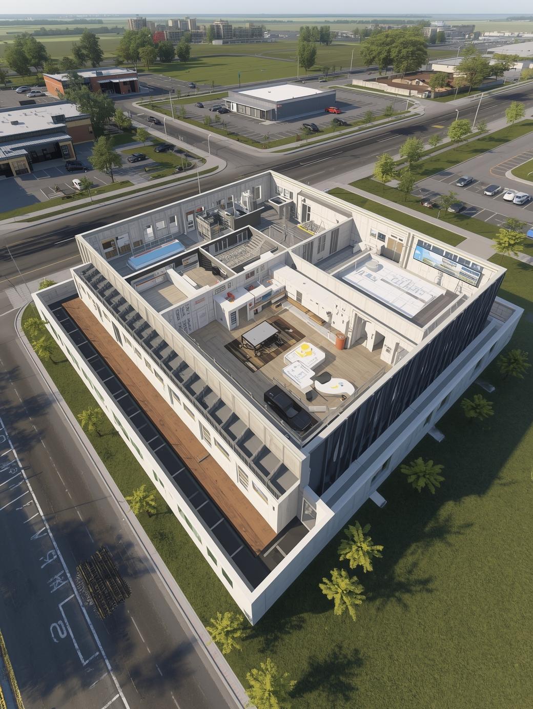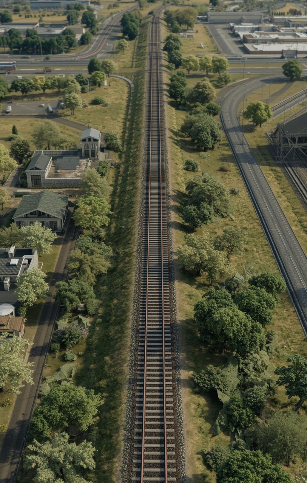
The initiative involves developing a comprehensive digital terrain and rail-subgrade model to support infrastructure planning. The work includes creating an accurate existing-conditions surface, preparing rail-specific sub-ballast geometry, establishing corridor-based cross sections, and generating reliable cut–fill quantities. The aim is to enable informed engineering decisions, quantify earthwork requirements, and optimize design validation.
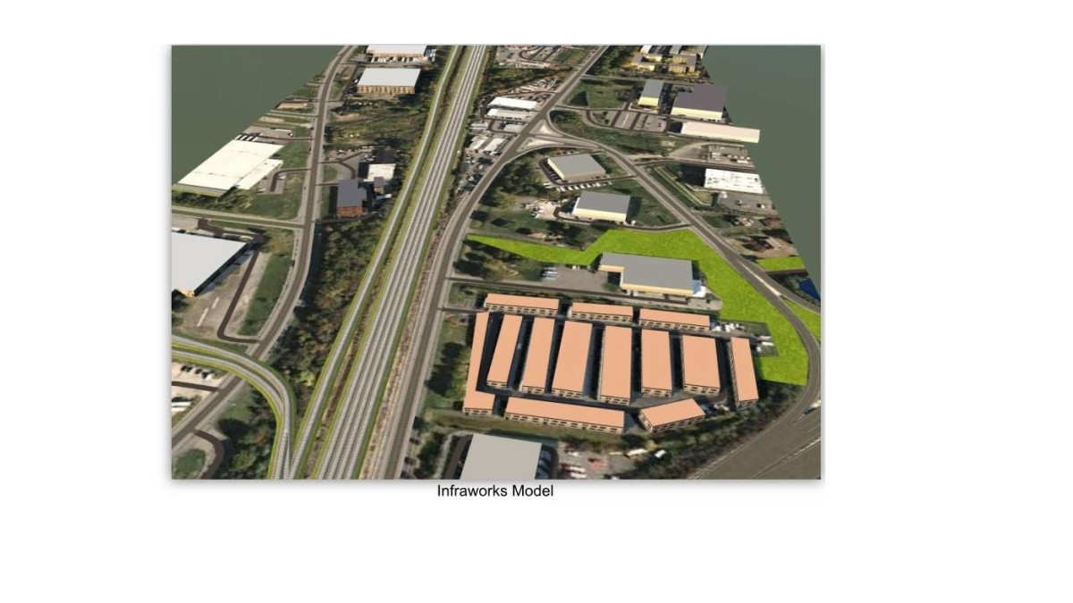
1. Development of a terrain model in InfraWorks and extraction of the corresponding TIN surface into Civil 3D.
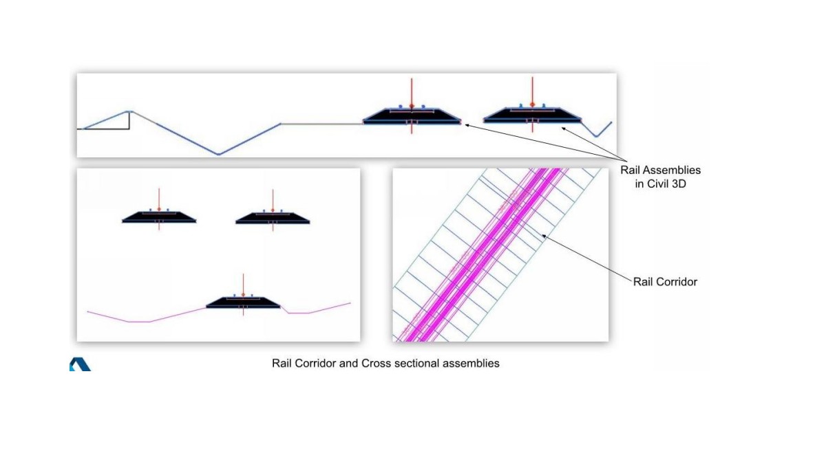
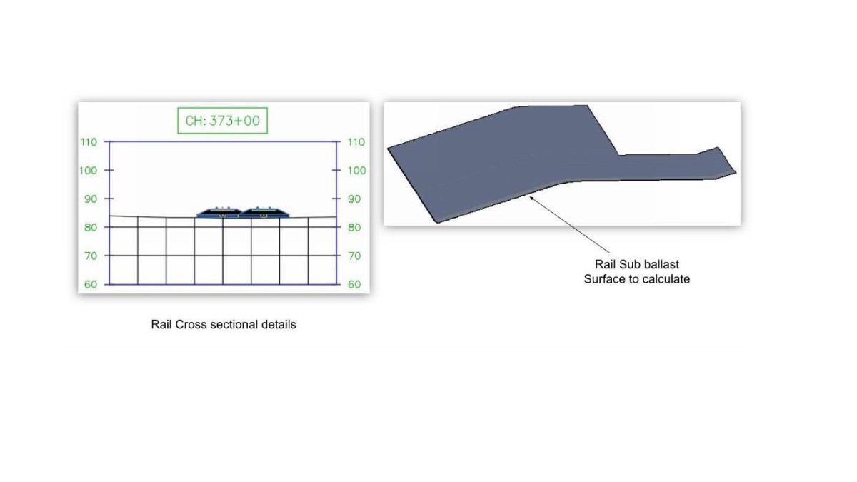
2. Creation of sub-ballast bottom surface tailored to the rail corridor alignment.
3. Cut–fill calculations using the sub-ballast design surface against the existing InfraWorks surface.
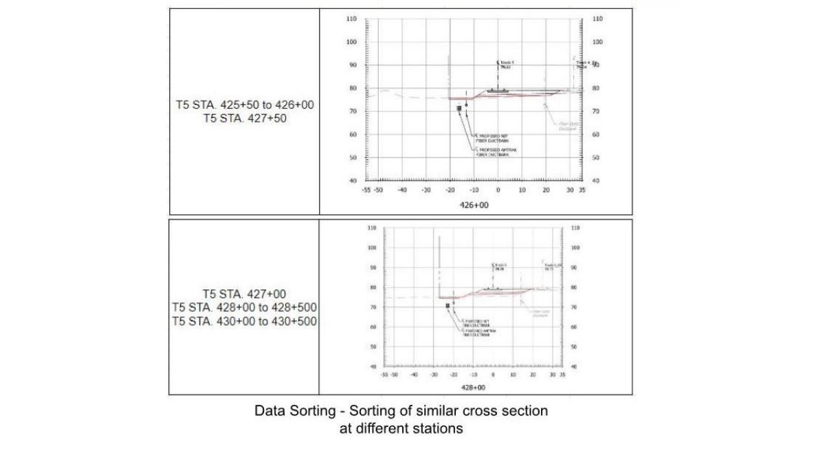
4. Preparation of a cut–fill report covering station range ST 196+00 to 434+00.
Connect with us to Streamline your construction process, reduce costs, and improve project efficiency with our expert-driven BIM & VDC solutions. To ensure seamless coordination, minimizing errors and delays, we help you to optimize workflows and maximize project success.