Civil and Utilities BIM Services USA by Techture offer accurate and coordinated digital models for surface, corridor, and underground infrastructures throughout the United States. The services offered by us include civil BIM services for roads and highways, grading and earthworks BIM modeling, and full utilities network BIM modeling, including water, sewerage, stormwater, gas, and telecom infrastructures.
We deliver these solutions using advanced civil BIM workflows that combine Civil 3D services USA, surface modeling BIM USA, corridor modeling Civil 3D USA, and underground utilities BIM USA processes. Models are developed using survey data, CAD drawings, GIS inputs, and point clouds, ensuring high accuracy in infrastructure BIM USA delivery. Our process includes detailed coordination, clash detection, and multidiscipline integration to ensure all civil and utilities systems are fully aligned and constructible before execution.
Techture is a world-class provider of BIM and VDC services with 350+ certified BIM professionals and 350+ satisfied clients all around the globe. Techture offers its customers top-notch civil BIM modeling, infrastructure BIM USA, and utilities network BIM modeling USA services, which are designed to meet your needs for quality and efficient BIM modeling. Our experience covers such areas as corridor modeling, Civil 3D USA, surface modeling BIM USA, and underground utilities BIM USA.
Project inputs such as survey data, design drawings, utility records, and authority requirements are reviewed.
Civil scope, modeling standards, and deliverables are defined before production begins.
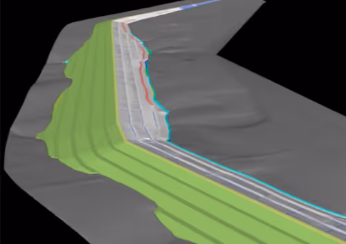
Project environments are configured in Autodesk Civil 3D.Surface structures, corridor assemblies, pipe networks, coordinate systems, and drawing templates are aligned with client or authority standards.
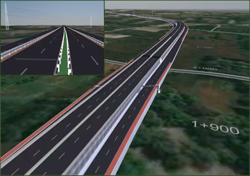
Surface, corridor, and utility models are developed and validated internally for accuracy, constructability, and design consistency before coordination.
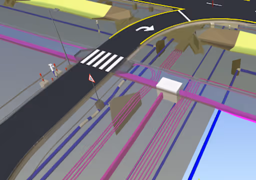
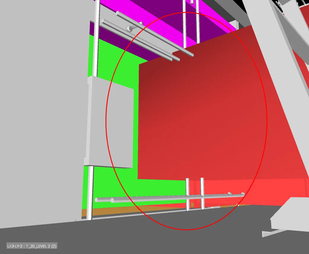
Civil models are coordinated with structural and MEP disciplines.Clash detection is performed to identify utility conflicts, clearance issues, and design overlaps. Issues are resolved through iterative model updates.
Final coordinated models are converted into construction documentation and issued in required formats such as Civil 3D, IFC, or GIS-compatible outputs for asset management and execution.
Techture assists the civil consultant by providing BIM production services for the surface, corridor, and utilities disciplines. This will help the engineering team concentrate on their design while making sure that the BIM process is done accurately and consistently.
Techture assists government and infrastructure agencies responsible for roads, drainage systems, and utility services by producing outputs from BIM according to submission requirements as well as GIS formats that will facilitate infrastructure asset management.
Techture helps contractors with coordinated civil models, utility models free from clashes, and documentation ready for construction. Techture helps ensure efficient site implementation and minimizes any potential coordination problems.
For land developers, Techture delivers grading models, surface coordination, and utility layouts for residential, commercial, and industrial projects. These outputs support planning approvals, optimize site development, and streamline construction documentation workflows effectively.
We work with multiple Design Consultants and offer our BIM solutions

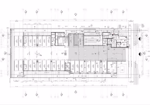
Civil and utilities BIM services involve creating intelligent 3D models of infrastructure assets such as roads, highways, railways, drainage systems, and underground utility networks to improve design, coordination, and construction planning.
Techture uses industry-leading civil BIM software, including Autodesk Civil 3D, InfraWorks, Revit, Navisworks, and BIM Collaborate Pro to deliver coordinated infrastructure models and documentation.
Corridor modeling in civil BIM is the process of creating intelligent linear infrastructure models for roads, highways, rail corridors, and canals using design parameters, alignments, and profiles.
Yes, Techture develops coordinated BIM models for underground utility networks, including water supply, stormwater, sewer, gas, and electrical systems for municipal and infrastructure projects.
Civil BIM reduces construction risk by identifying clashes, improving design coordination, optimizing constructability, and minimizing costly rework during construction.
Yes, Techture provides civil and utilities BIM services for both urban and rural infrastructure projects, including transportation, municipal, and land development projects across diverse site conditions.
Techture delivers coordinated 3D BIM models, construction drawings, utility layouts, corridor models, quantity takeoffs, clash detection reports, and project documentation tailored to client requirements.


